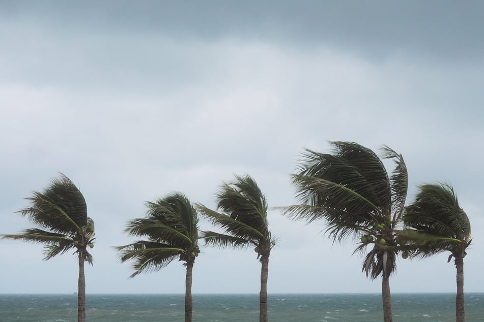
Tropical Storm Harold forms in Gulf of Mexico amid busy tropical parade
Port Mansfield, Texas - Tropical Storm Harold became the fourth named storm in less than 48 hours as it spun up in the Gulf of Mexico overnight while Tropical Storm Franklin and Tropical Depression Gert continue to churn amid two more investigations, according to the US National Hurricane Center.

As of Tuesday morning, Tropical Storm Harold was located about 70 miles east-southeast of Port Mansfield, Texas, moving west-northwest at 18 mph. It had sustained winds of 45 mph with higher gusts and tropical-storm-force winds extending out 115 miles.
"The system is forecast to move inland over south Texas by midday today," forecasters said. "Some strengthening is possible before Harold reaches the Texas coast."
A tropical storm warning remains in effect from the mouth of the Rio Grande River north to Port O’Connor, Texas, while a tropical storm watch is in effect from Port O’Connor to Sargent, Texas.
Flash flooding is a threat as the storm is forecast to produce 3 to 5 inches with some area seeing 7 inches of rainfall across South Texas while parts of Mexico could see up to 10 inches, the NHC said.
Tropical Storms Franklin and Gert continue to churn

Tropical Storm Franklin in the Caribbean is the only remaining system from Sunday’s busy spate of named storms that is still at tropical-storm strength after Atlantic systems Tropical Storm Emily faded into a remnant low and Tropical Storm Gert fell back down to a tropical depression.
As of 8 AM, Franklin was located about 260 miles south of Santo Domingo, Dominican Republic, moving northwest at 3 mph with sustained winds of 50 mph. Tropical-storm-force winds extend out 70 miles.
"The system should turn northward today, and a generally northward motion is expected on Wednesday. On the forecast track, the center of Franklin is forecast to reach the southern coast of Hispaniola on Wednesday, traverse the island and move off of the northern coast on Thursday," forecasters said. "Some strengthening is forecast before Franklin reaches Hispaniola."
Tropical storm warnings remain in place for parts of the Dominican Republic and Haiti while tropical storm watches are in place for other areas of the two Hispaniola countries plus the Turks and Caicos.
Tropical Depression Gert meanwhile is barely a tropical cyclone and could dissipate at any time, the NHC said.
As of 5 AM it was located about 290 miles east-southeast of the northern Leeward Islands moving west-northwest at 8 mph with sustained winds of 30 mph.
"Gert or its remnants should move west-northwestward to northwestward today," forecasters said.
Forecasters keep their eyes on more weather systems

The NHC also is keeping track of two more weather systems with lessening potential to form into a tropical depression or storm since Monday’s forecasts.
The higher of the two is a tropical wave with disorganized showers and thunderstorms located a few hundred miles west of the Cape Verde Islands.
"Environmental conditions appear generally conducive for gradual development of this system, and a tropical depression could form later this week or over the weekend while it moves west-northwestward to northwestward across the eastern and central Atlantic," forecasters said.
The NHC gives it a 20% chance to form in the next two days and 50% chance in the next seven.
Finally, the remnants of former Tropical Storm Emily are located over the central tropical Atlantic several hundred miles east-northeast of the Leeward Islands.
"Although development is unlikely in the next day or so due to unfavorable environmental conditions, some development is possible late this week or this weekend when the system moves northward over the subtropical central Atlantic," the NHC said.
It gives the system a 20% chance of formation in the next seven days.
Cover photo: 123rf/yuran-78

