The Water Cycle: Why is snow and rain getting so intense?
Geneva, Switzerland - The world's best and brightest climate experts have dropped another new video that clues you in on why rain and snowfall is getting all out of whack.

In a new video from the Intergovernmental Panel on Climate Change (IPCC), climate scientist Dr. Paola Arias breaks down why heavy rain and snowfall is getting worse due to the climate crisis.
Dr. Arias sums up the most recent IPCC report's findings on how extreme weather events with intense rain and snow, as well as flooding caused by massive precipitation, are going to intensify as climate change gets worse.
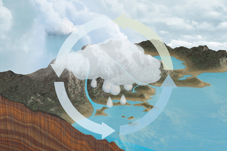
The water cycle describes the truly epic journey water makes from oceans, lakes, and rivers up into the atmosphere through evaporation, until it returns to the Earth's surface as rain and snow.
From there, any water that doesn't land back in a body of water seeps into the ground. That which doesn't gets funneled towards a stream or river and leads back to a lake or an ocean – where the cycle starts all over again.
Unfortunately, climate change has disrupted the more mild rhythms of that cycle. You can see the evidence in this year's brutal droughts in California or the heavy flooding on the East Coast – and in the aftermath of Hurricane Ida.
There is still time to bring balance back to the climate and make the water cycle surge a little less, but the time to act is now. Otherwise, we'll need a lot more than an umbrella to help us.
Cover photo: Collage: IMAGO/Panthermedia & Science Photo Library (stock image))
