Hurricane Idalia intensifies as Florida prepares for landfall
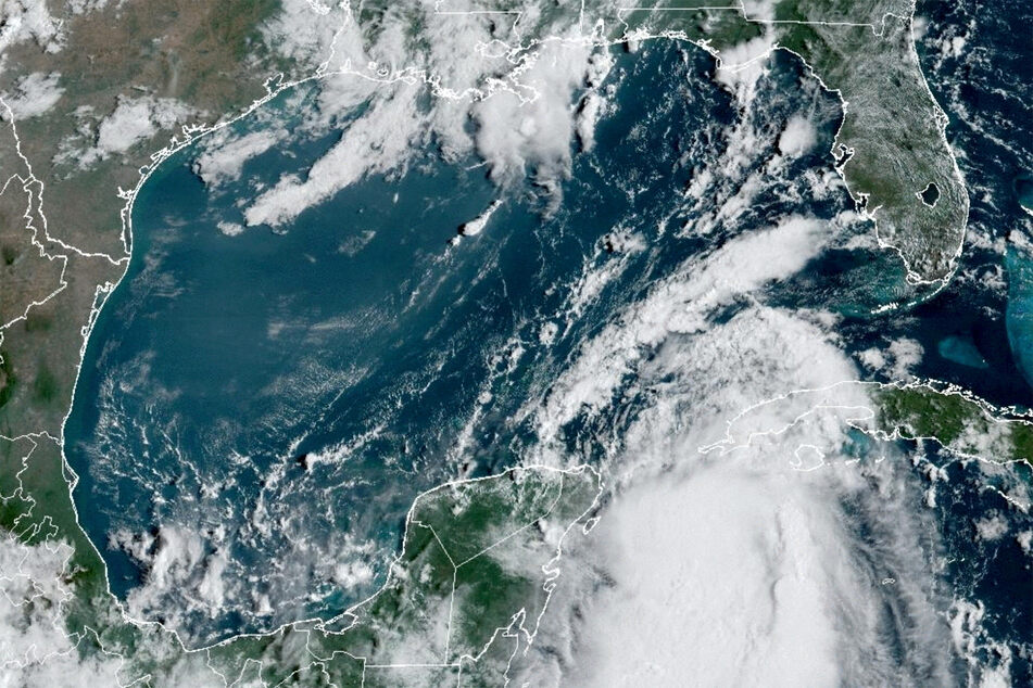
Tampa, Florida - Hurricane Idalia intensified early Wednesday as it hurtled towards northwest Florida, threatening "catastrophic" impacts including a dangerous storm surge, with officials forecasting it will slam the coast within hours as an extreme and historic Category 4 storm.

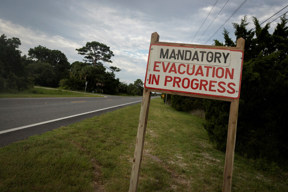
Authorities in the state described Idalia and its potentially deadly storm surge as a once-in-a-lifetime event for Florida's northwest coast, as they ordered mass evacuations and issued flood alerts ahead of a projected landfall Wednesday morning.
The US National Hurricane Center (NHC) said Idalia, which earlier raked western Cuba, had strengthened to a Category 3 level as of 2:00 AM EST, with maximum sustained winds nearing 120 miles per hour.
"Additional strengthening is forecast, and Idalia is forecast to become a category 4 hurricane before it reaches the Big Bend coast of Florida this morning," the weather agency said in an advisory. "Idalia is likely to still be a hurricane while moving across southern Georgia, and possibly when it reaches the coast of Georgia or southern South Carolina late today."
Warm waters in the Gulf of Mexico are expected to further turbocharge Idalia, with wind speeds of 130 to 156 mph, the NHC said. It warned of a potentially disastrous storm surge inundation of 12 to 16 feet in some coastal areas.
"Very few people can survive being in the path of a major storm surge, and this storm will be deadly if we don't get out of harm's way and take it seriously," said Federal Emergency Management Agency (FEMA) chief Deanne Criswell.
Florida residents prepare for Idalia's arrival

Storms that are Category 3 or higher on the five-level Saffir-Simpson scale are considered to be major weather events.
In the small coastal town of Steinhatchee, resident Robert Bryant was making final preparations to evacuate inland with his two cats and a dog.
"We are out on the water, so we are going to be the worst ones to get hit," said the 18-year-old student, whose home built on stilts is close to the mouth of a river.
"Hopefully, it just blows over and we have a bit of wind... but you prepare for the worst and hope for the best," he told AFP.
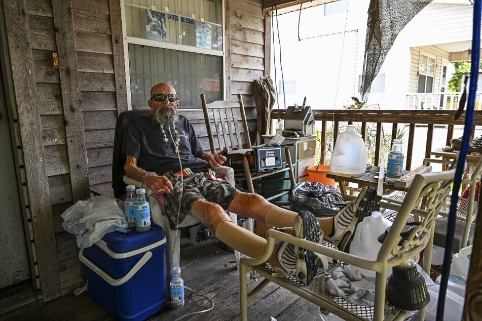
Another Steinhatchee resident, 71-year-old John Paul Nohelj, told AFP on Tuesday he would stay put despite an evacuation order.
"If you live near the water, you're gonna get a wet butt once in a while," he said, downplaying the risk.
The nearby cities of Tampa and St. Petersburg, part of a metropolitan area that is home to more than three million people, are of particular concern, authorities said.
"There's a danger of life-threatening storm surge along portions of the Florida Gulf Coast from Tampa Bay to the Big Bend region," said Matthew Payne of FEMA's Office of Response and Recovery.
Idalia was already battering parts of Florida, with flooding seen in Fort Myers Beach south of Tampa.
Florida residents in evacuation areas urged to leave "now"

Governor Ron DeSantis urged those in the evacuation areas in 23 counties along Florida's Gulf coast to go "now," and head to shelters or hotels outside the danger zones.
The US presidential candidate said the hurricane appeared to be the strongest to impact the region in more than a century.
Meteorologists are also pointing to a rare blue supermoon which could further raise tides above normal levels just as Idalia pounds the coastline.
Almost 150 people were killed last year when Hurricane Ian slammed Florida's west coast as a devastating Category 4 storm, bringing ocean surges and strong winds that downed bridges and swept away buildings.
Idalia is expected to make landfall farther north in the so-called Big Bend area – a vast marshy region which, unlike most other coastal areas around Florida, does not have barrier islands.
The storm is forecast to dump up to 12 inches of rain in parts of the Florida panhandle, potentially triggering flash and urban flooding, and tornadoes were also possible along Florida's west central coast Tuesday overnight, and in southeast Georgia and the coastal Carolinas later Wednesday, according to the NHC.
US President Joe Biden spoke with DeSantis on Monday and approved an emergency declaration for Florida, which unblocks federal funds and resources. FEMA has already sent hundreds of emergency personnel into the storm zone.
Tampa International Airport closed ahead of Idalia's arrival, while flights were disrupted along the US east coast as another hurricane, Franklin, churns in the Atlantic.
Idalia's winds energized by marine heat wave

Georgia, North Carolina, and South Carolina are also under storm watches as Idalia is expected to cross northeast over Florida before exiting into the Atlantic.
All four states could see flooding Wednesday and Thursday, the NHC said.
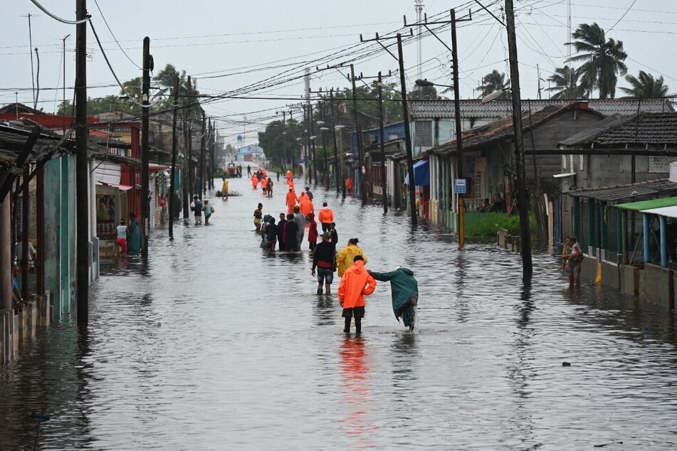
In Cuba, the storm flooded several communities including parts of the capital Havana and knocked out power to about 200,000 people but there were no deaths reported.
The storm then moved out over the Gulf, which scientists say is experiencing a "marine heat wave" – energizing Idalia's winds as it raced towards Florida.
Scientists have warned that storms are becoming more powerful as the world warms due to climate change.
Cover photo: NOAA/Handout REUTERS